State Demography Office Tools and Maps
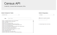
SDO Census Data API
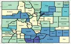
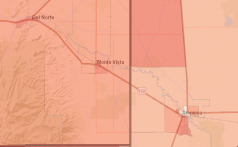
Census 2020 Interactive Map
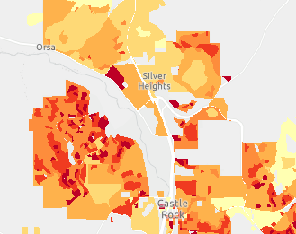
2020 Census Population Density Map
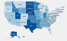
ACS 1-Year State Comparison Dashboard
ACS Interactive Maps: 2006-2010 to 2019-2023
Historical Census Data Lookup, 1870 to 2020
Census 2020 Visualizations
2020 Demographic Profile Page
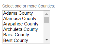
Census 2020 Demographic Profile Interactive Map
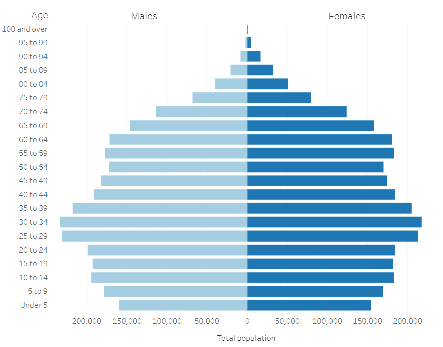
2020 Census Interactive Age Pyramids
2020 Census Interactive Maps by Age Group
American Community Survey Applications
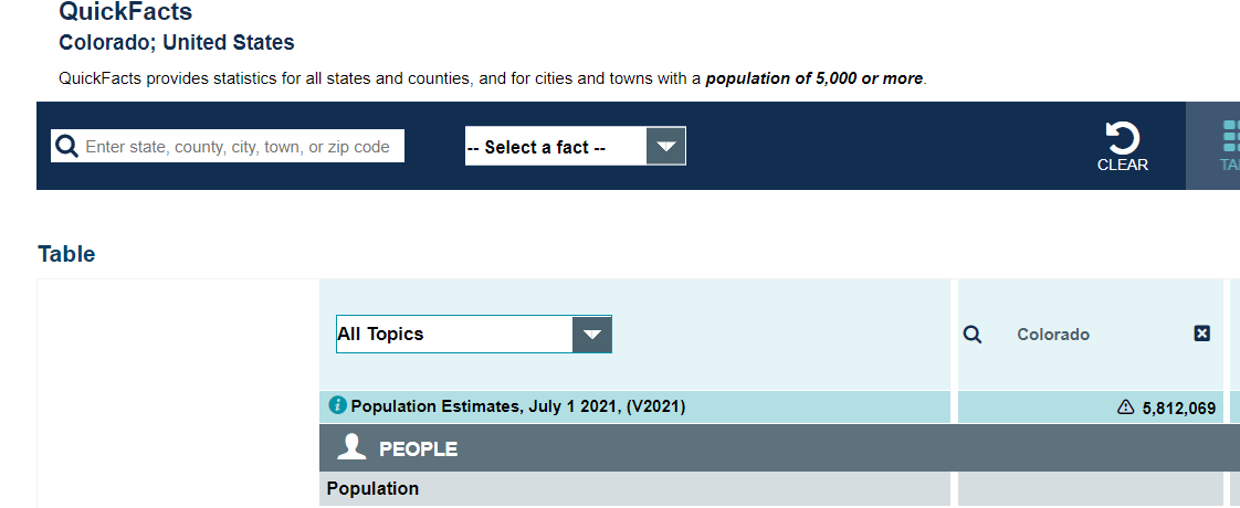
U.S. Census Bureau Quick Facts; Summary tables based on U.S. Census data
ACS Data Profiles
U.S. Census Bureau ACS Data Portal: data.census.gov
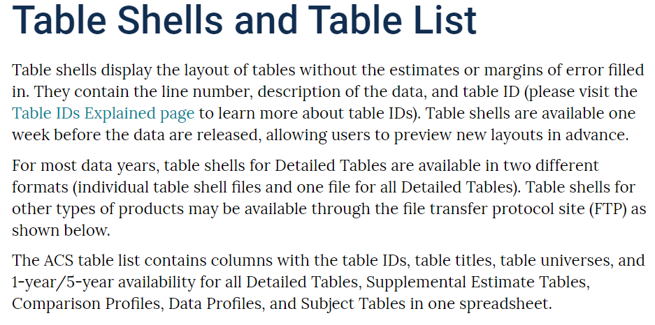
ACS Table Shells: Documents showing the content and layout of ACS tables
ACS Subject Definitions
ACS Handbook: Documentation of the ACS showing how to combine estimates and MOE values
Census Academy: U.S. Census Bureau Training Hub
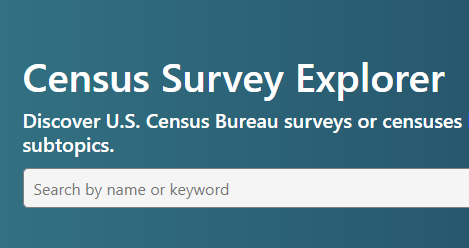
Census Survey Explorer: Access Census ACS, AHS, and Other Surveys
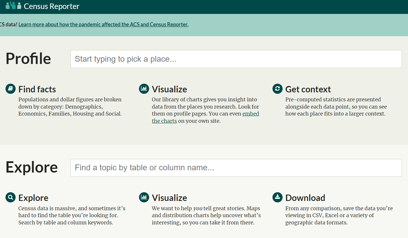
Census Reporter
Census My Community Explorer: An interactive tool that highlights demographic and socioeconomic data
Census SAIPE Viewer: An interactive tool showing Small Area Income and Poverty Estimates (SAIPE)
Census Digital Equity Act Population Viewer: An interactive collection of maps that highlight various demographics and broadband internet availability and adoption by state.