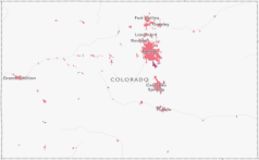
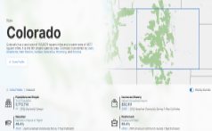
Colorado Demographic Story Map
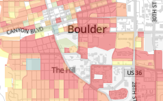
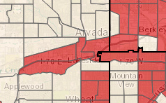
Municipal Boundary Map
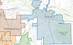
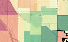
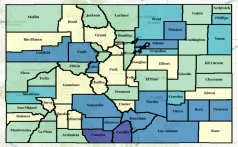
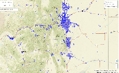
Special Districts Map
Social Vulnerability Index
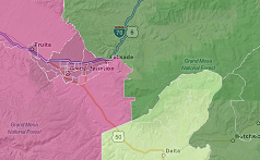
RUCA Urban-Rural Map
Regional and County Demographic Dashboard
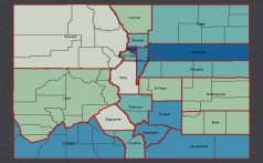
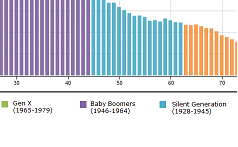
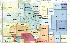
Colorado County Bracketology
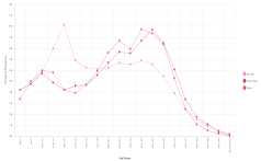
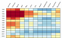
Historic County Populations
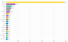
Poverty By Age
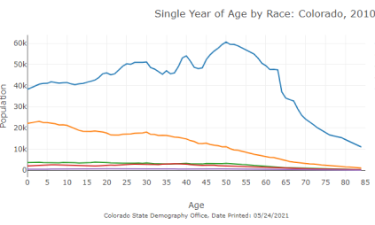
Race Ethnicity by Age Visualization
Age Animation
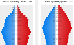
Colorado Age Pyramids and Maps
Age Distribution By Jurisdiction
Birthplace and Residence of Coloradans
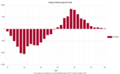
Change in Births by Age Chart
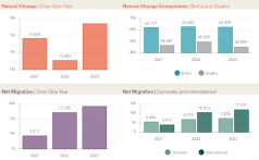
Population Change: Births, Deaths, and Migration
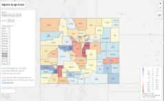
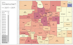
Migration by Age Group
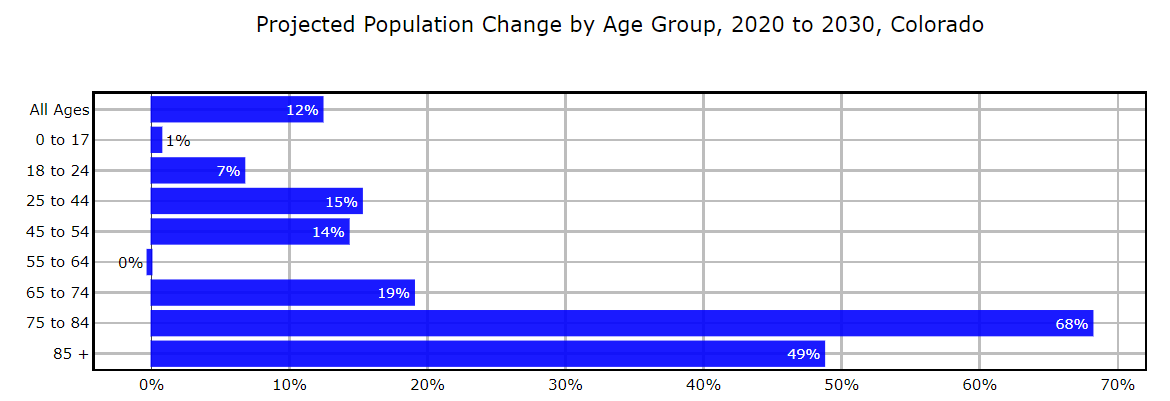
Population Change By Age: 1990-2060
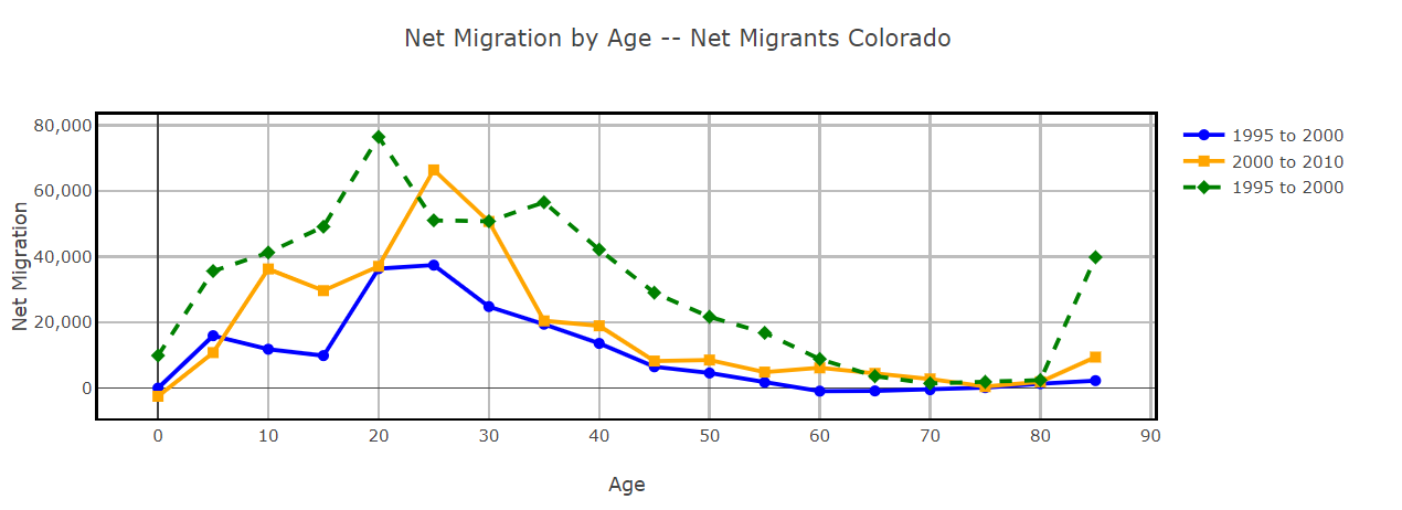
Net Migration by Age Dashboard
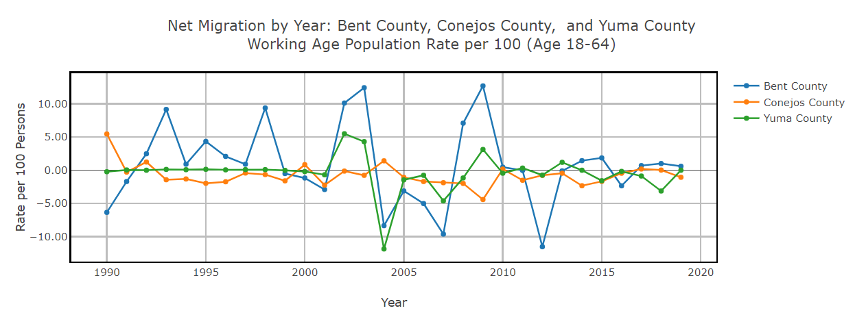
Net Migration of Working Age Population
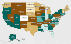
Colorado State to State Migration
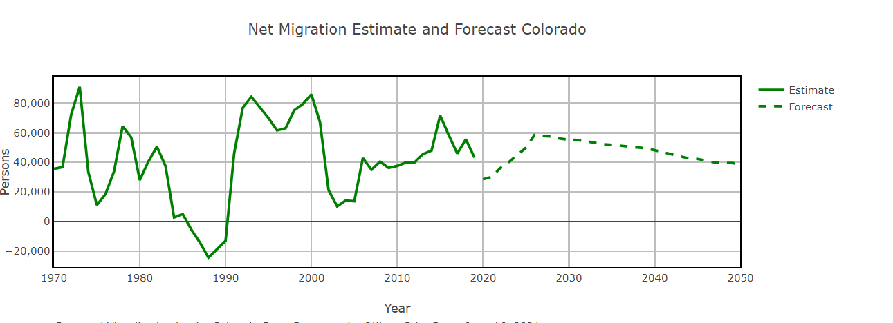
Long Term Trends: Births, Deaths, Migration
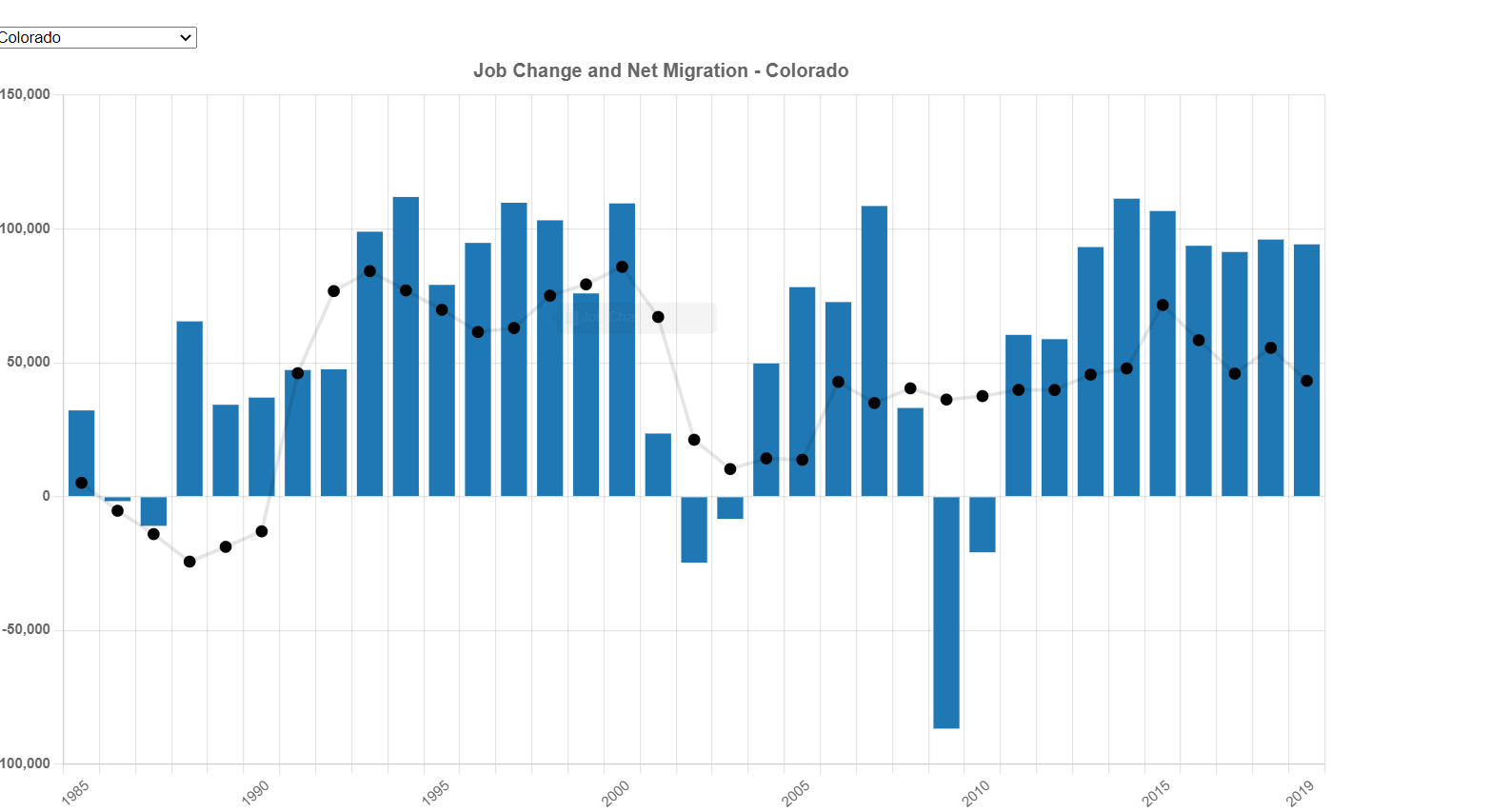
Job Change and Net Migration
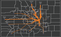
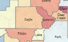
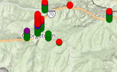
Colorado County Migration
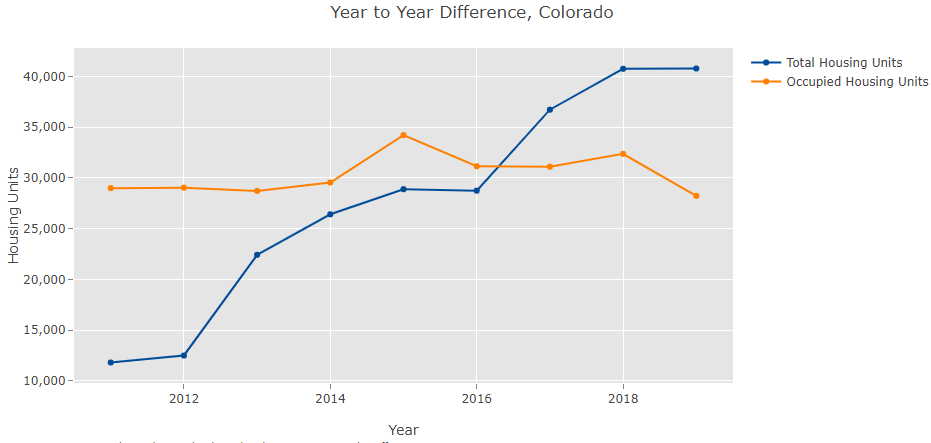
Housing Dashboard
Housing Needs Assessment Data Bundles (HNA)
Census 2020 Interactive Map
ACS 1-Year State Comparison Dashboard
ACS Interactive Maps: 2010-2014 to 2020-2024
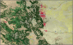
2020 Census Population Density Map
2020 Census Urban Areas Application
Block Boundary Suggestion Program Map
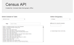
SDO Census Data API
Colorado Population Dashboard
United States Population Dashboard
Census Reporter Geographic Profiles
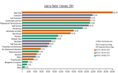
Job Sector Chart
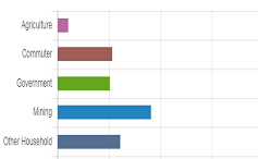
Jobs Base Industries Analysis
Unemployment Map
Unemployment Timeseries
Job Change Map
Job Sectors Map
Colorado Main Street Communities Story Map
DOLA Grants Map
Socially and Economically Burdened Area Map
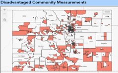
SRF Disadvantaged Communities
HUD Low and Moderate Income Map
ESRI Land Cover Explorer